Additional Information
Association Annual Expense
2400.00
Association Fee Frequency
Annually
City Taxes Paid To
No City Taxes Paid
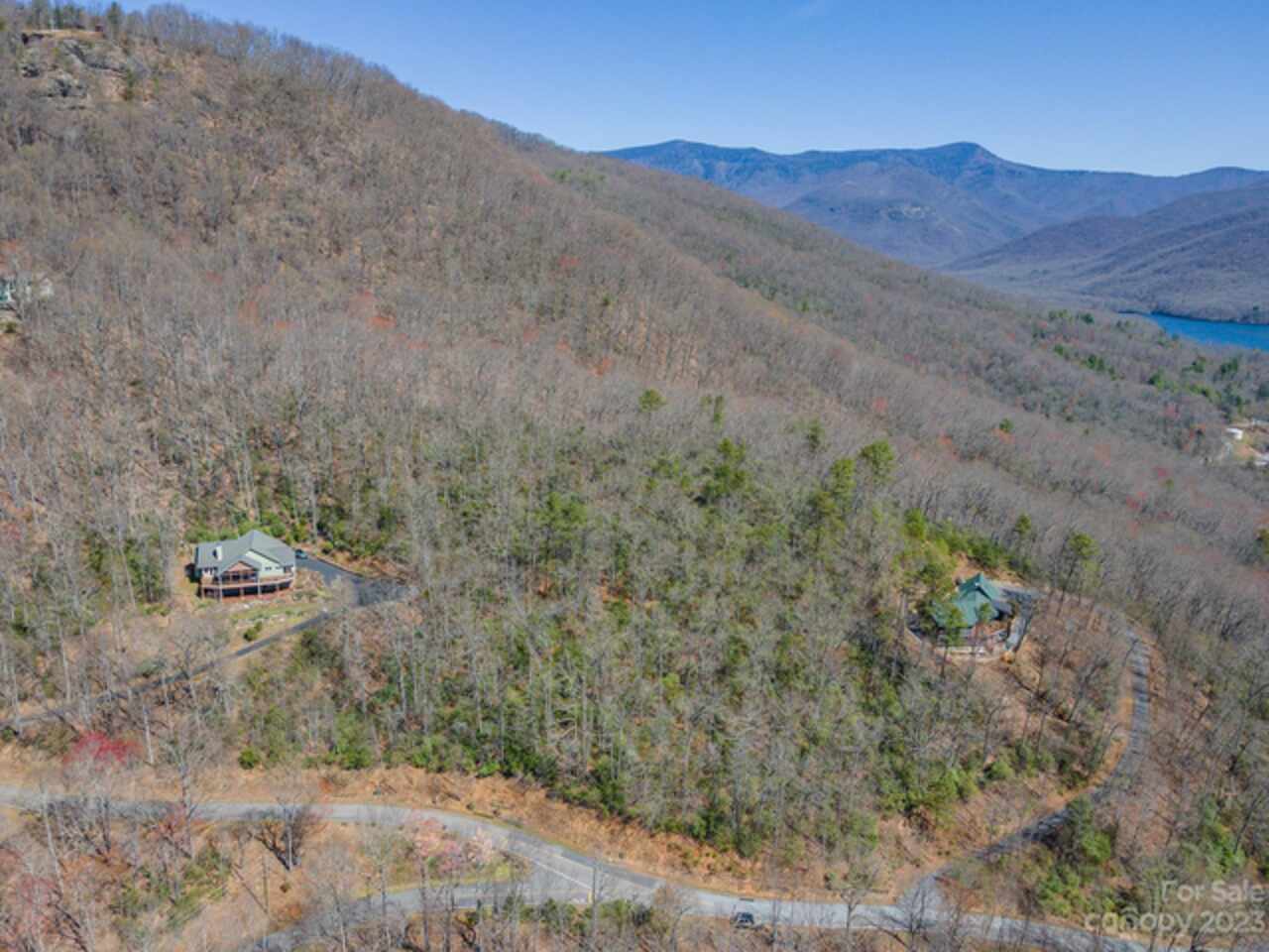
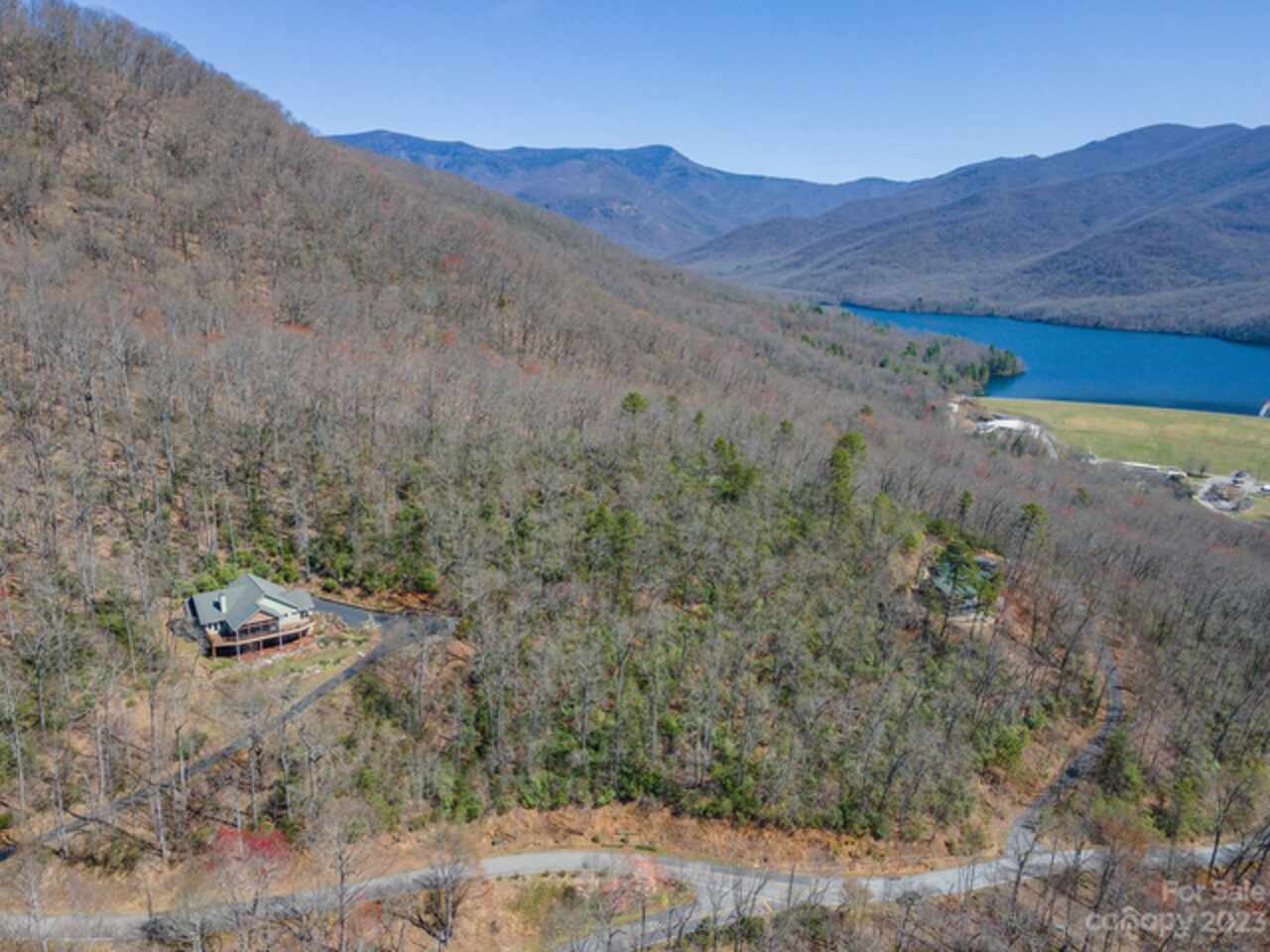
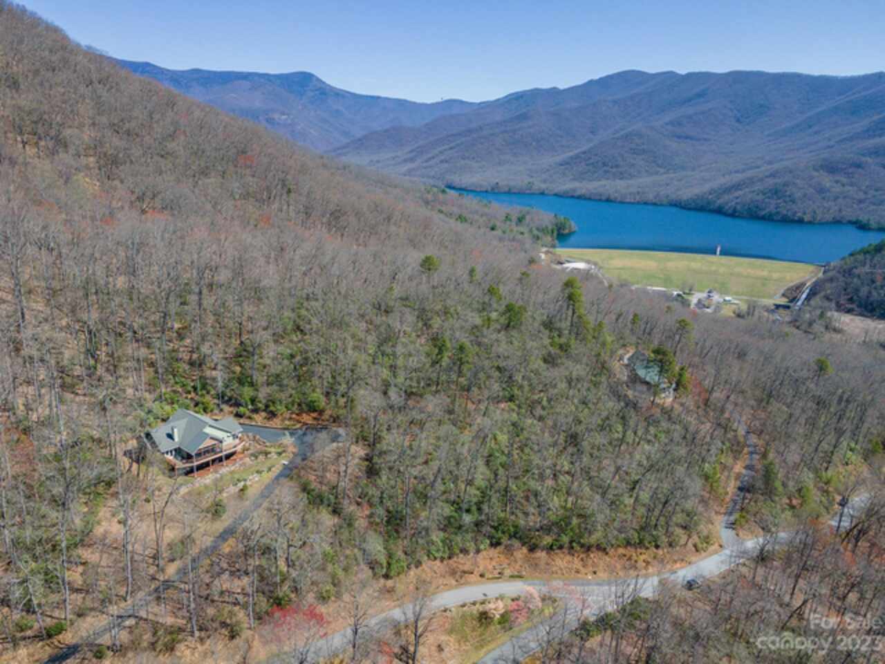
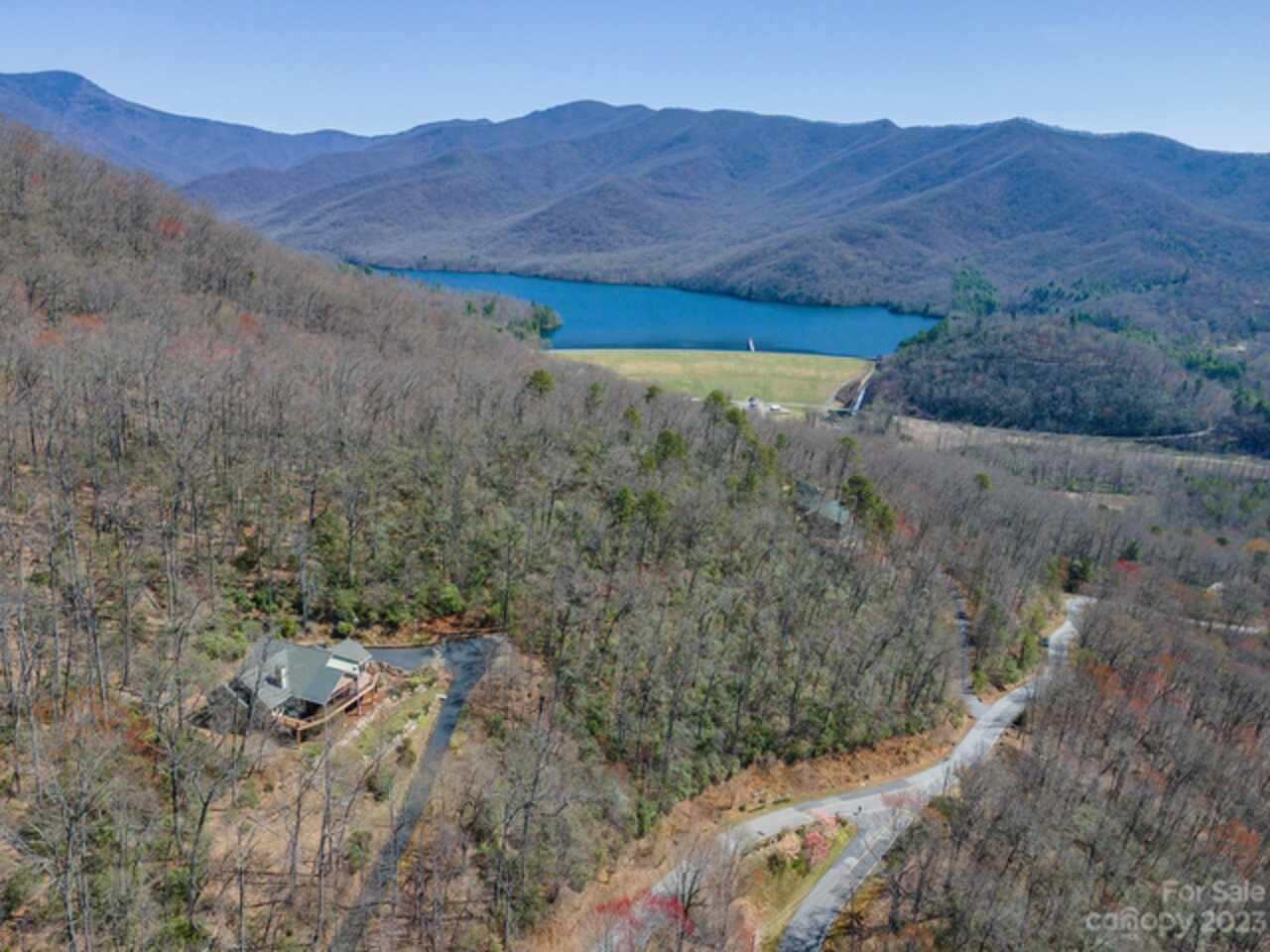
Community Features
Clubhouse, Gated, Picnic Area, Pond, Walking Trails
CumulativeDaysOnMarket
857
Deed Reference
4354/1483-1485
Directions
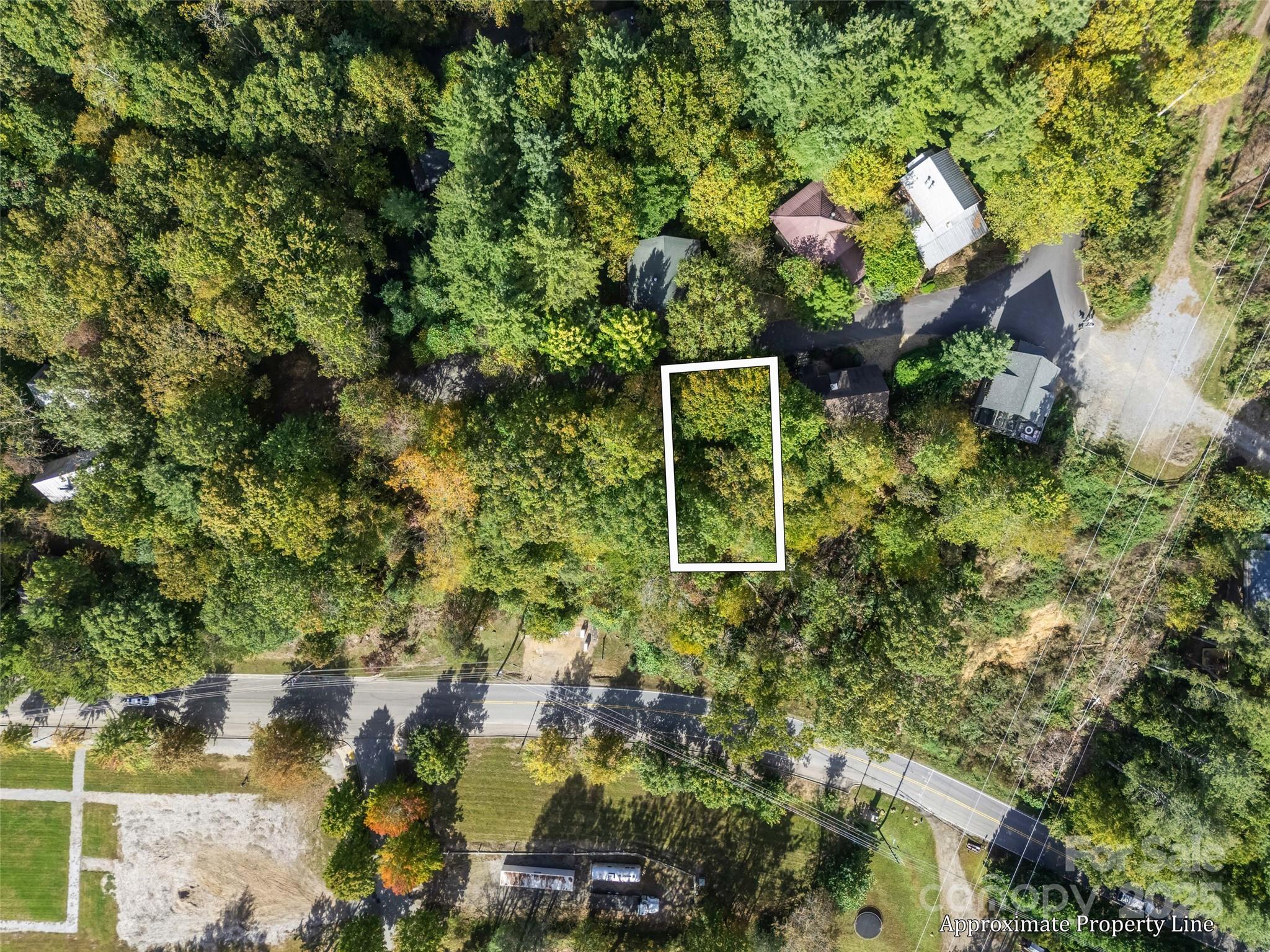
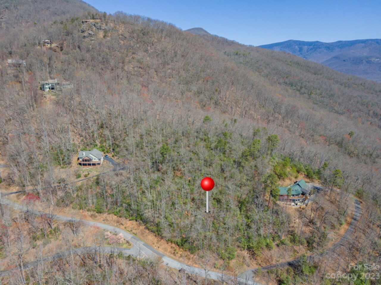
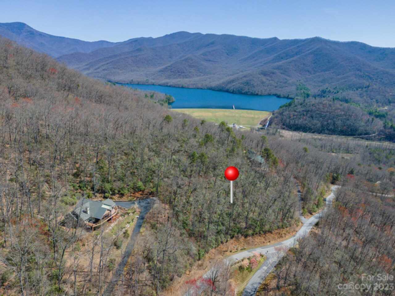
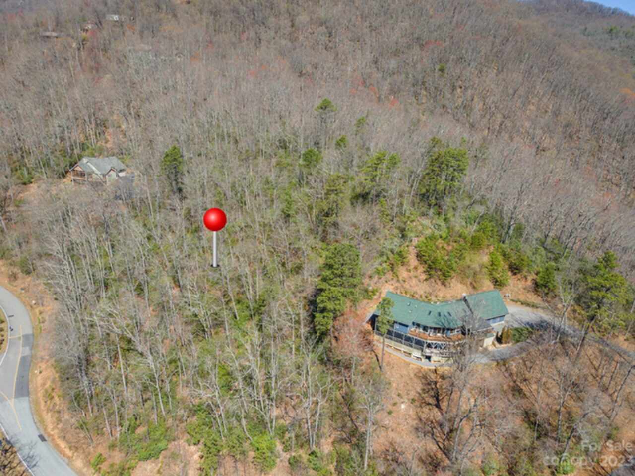
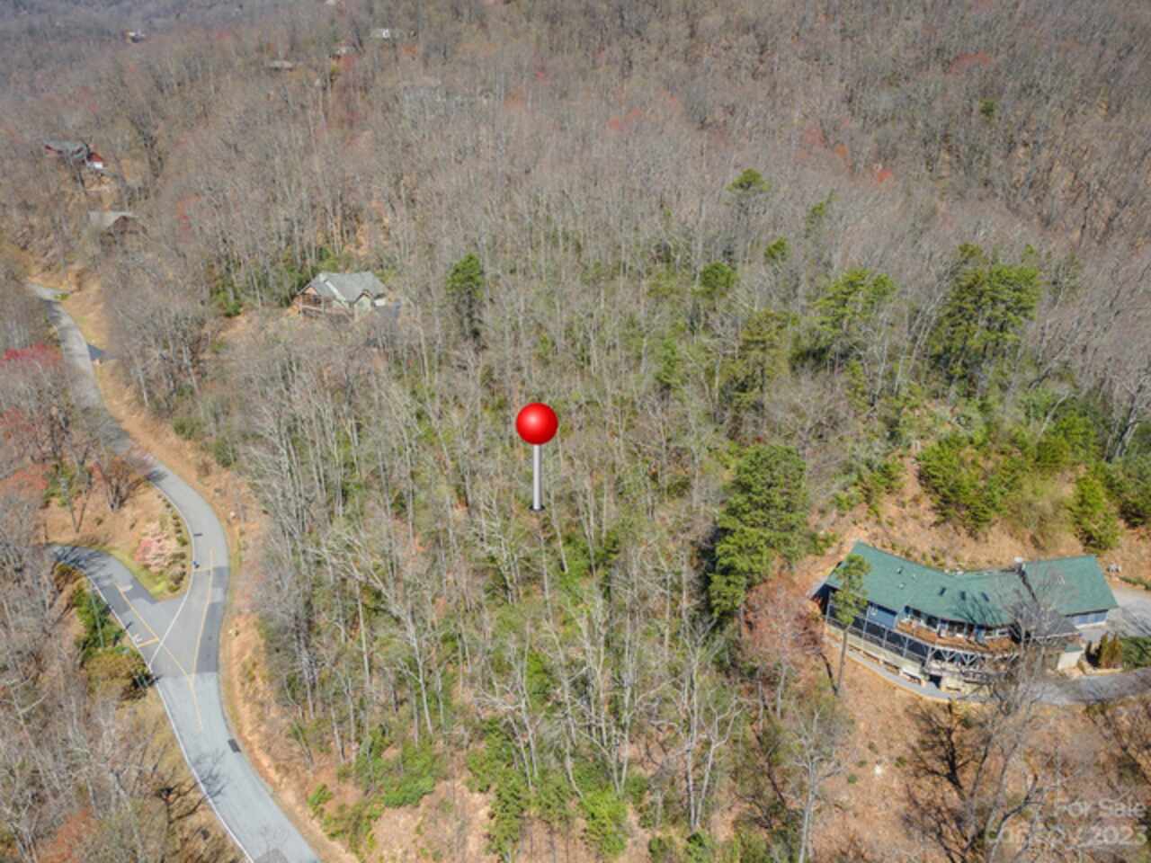
Take I40E to X64, turn L @RL, go under I-40 & cross RR, thru next 2RL, onto Montreat Rd (Hwy9N). Bear L @next fork onto N Fork Rd & then pass B Mt Golf on left. Bear L at next fork & go to bottom of mt, turn R onto N Fork Rt Fork, follow thru fields & turn L onto Sugar Maple Dr @Laurel Ridge rock. Go to LR gate, use qtrly code if unopened & proceed to next fork with Winding Poplar to right. Pull over and park left of left fork and look for Lot 902 GBR sign on right. Trail head to top of the ridge is found behind GBR sign.
Elementary School
Black Mountain
Foundation Details Proposed
Basement, Crawl Space, Pillar/Post/Pier, Slab
HOA Subject To Dues
Mandatory
Habitable Residence YN
false
High School
Charles D Owen
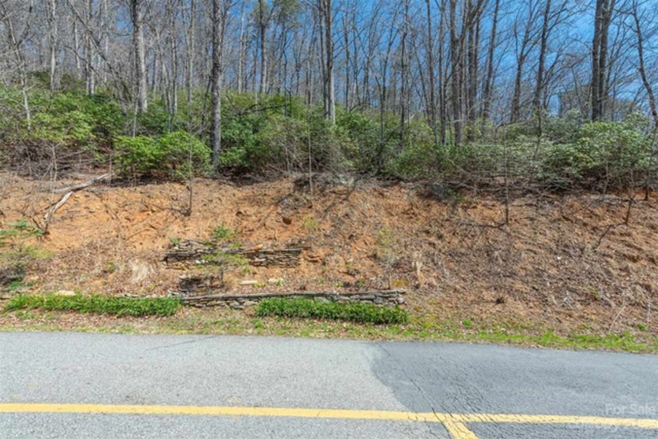
Lot Features
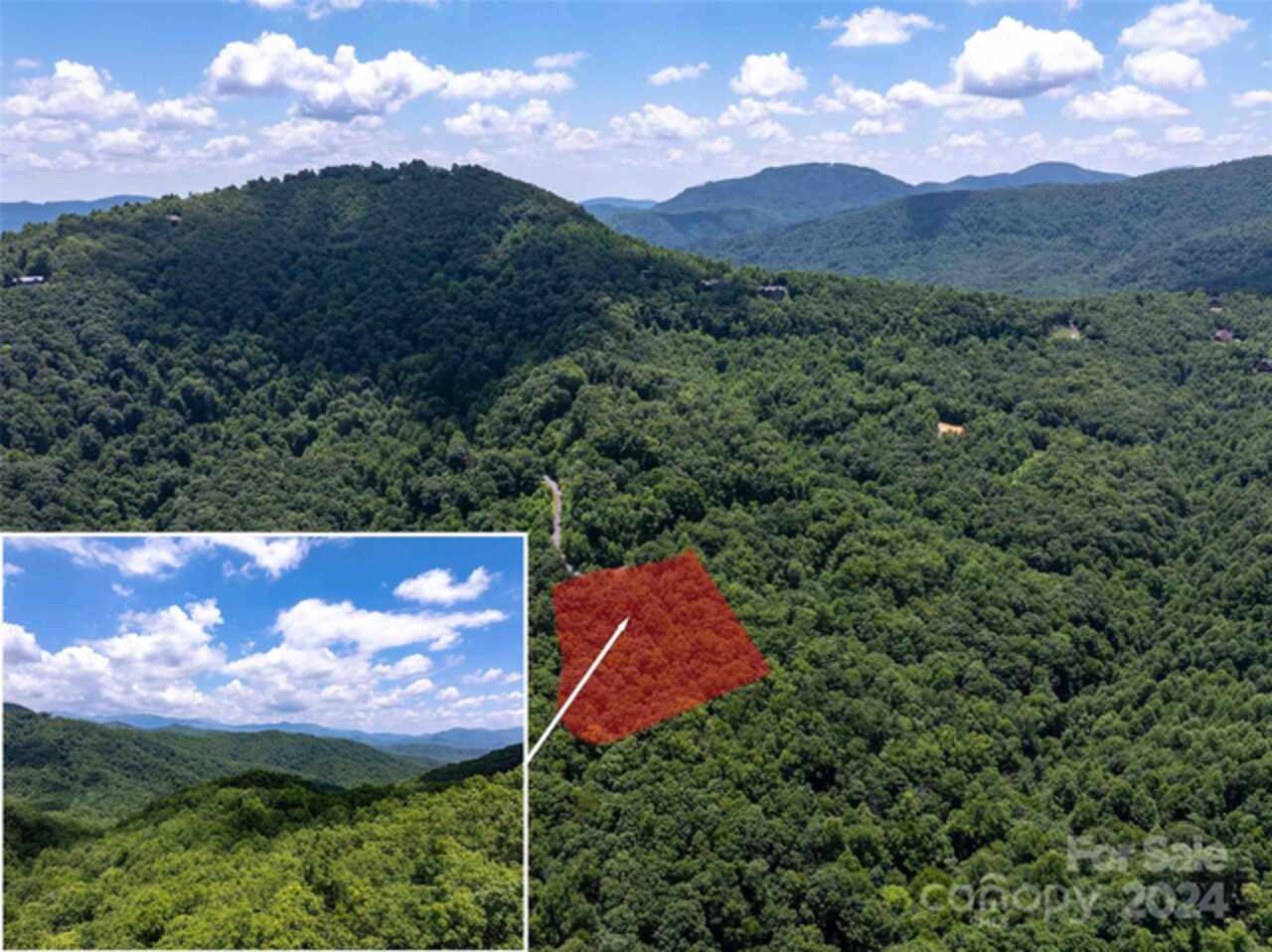
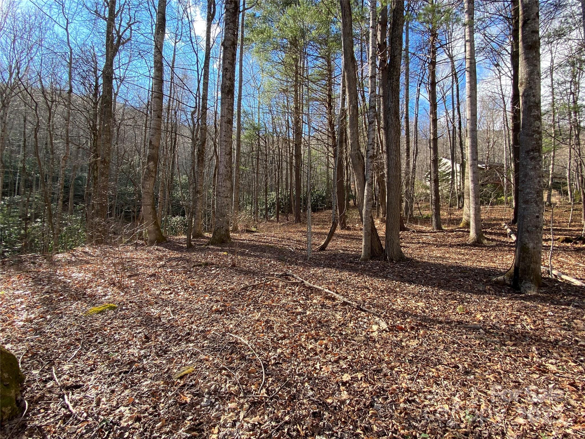
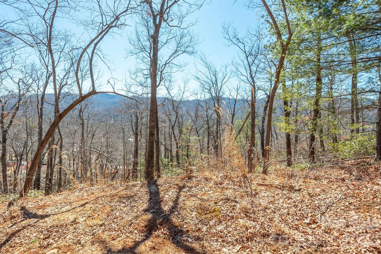
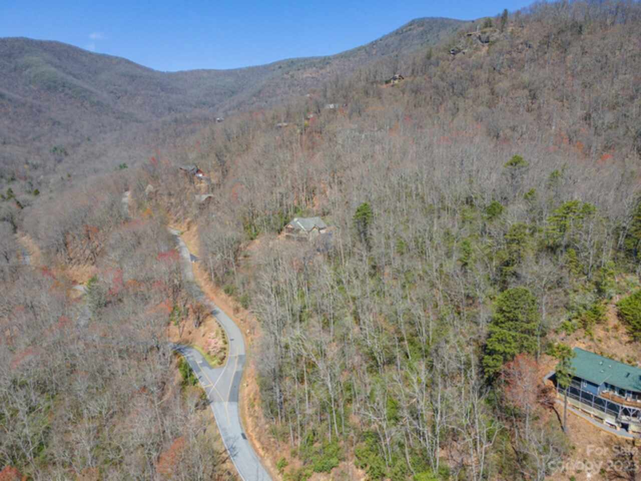
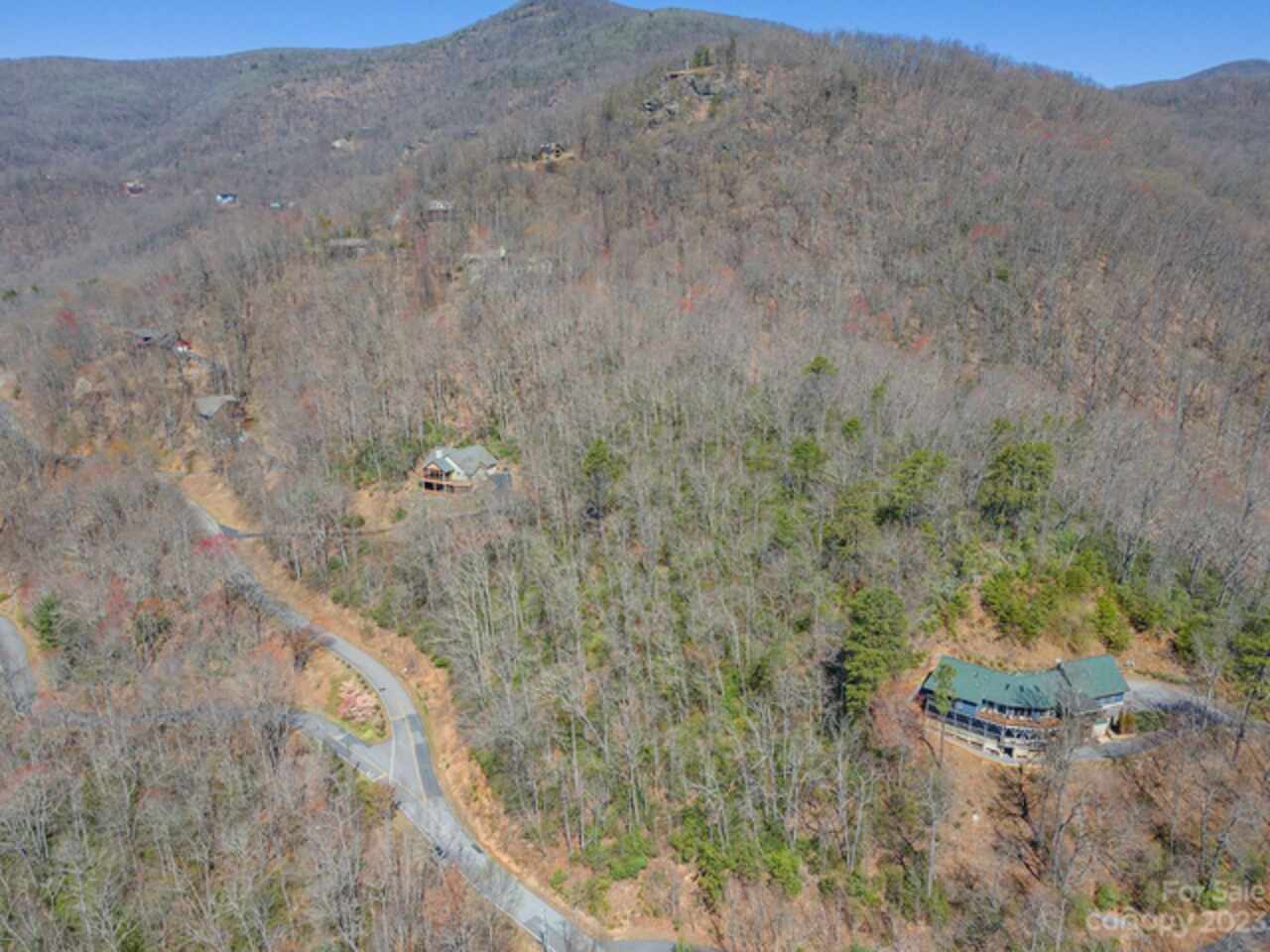
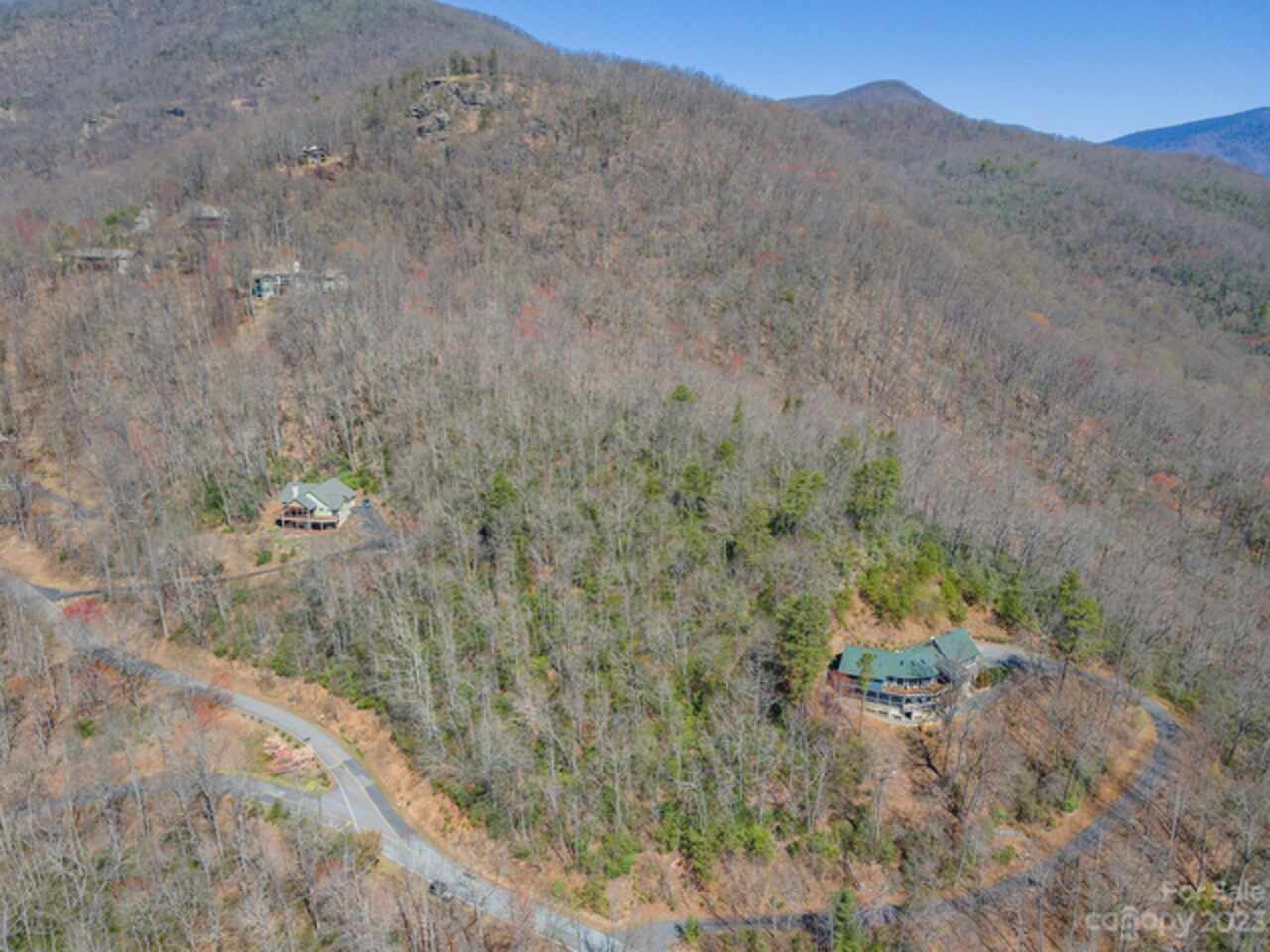
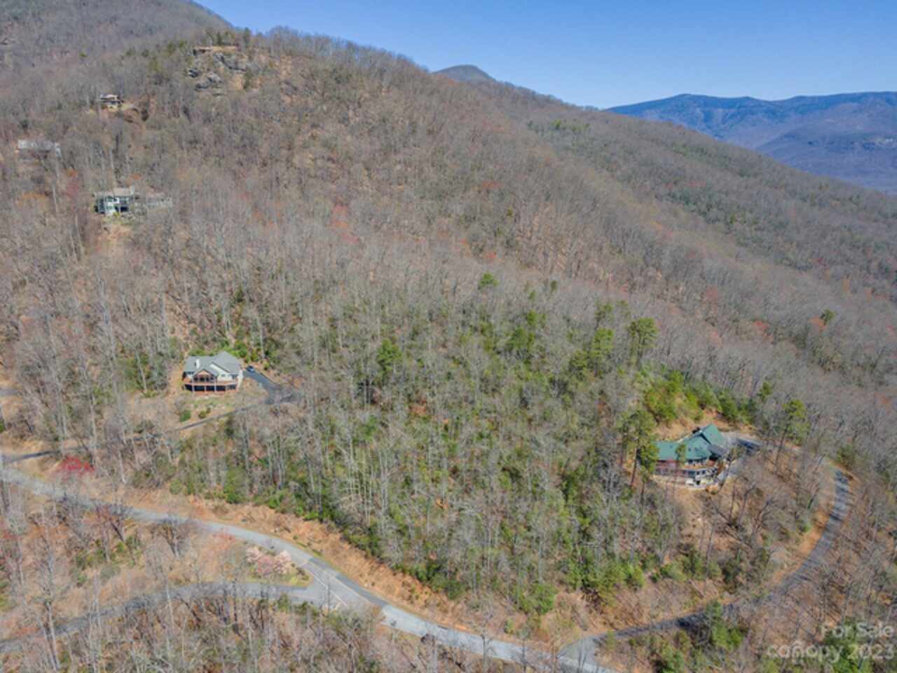
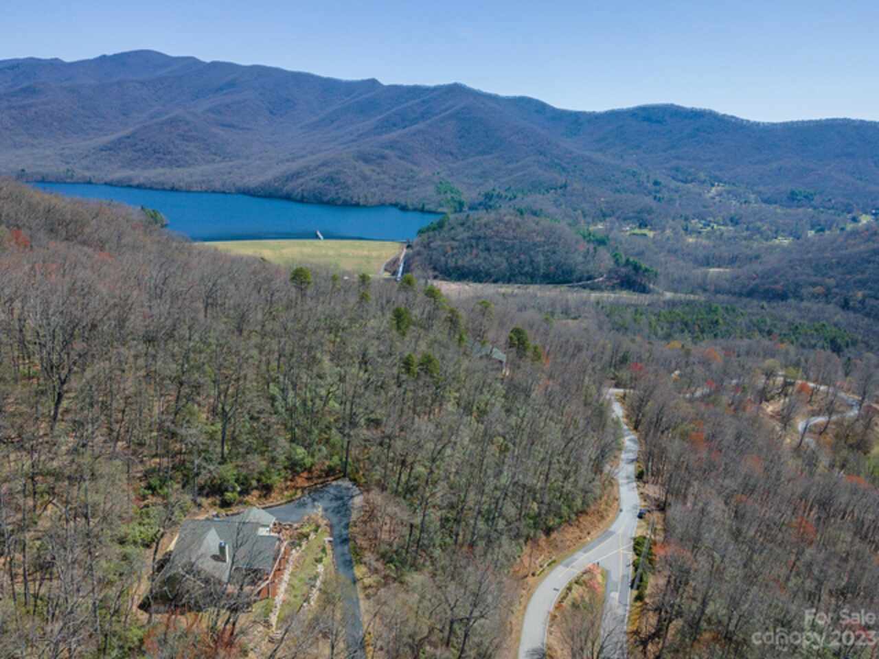
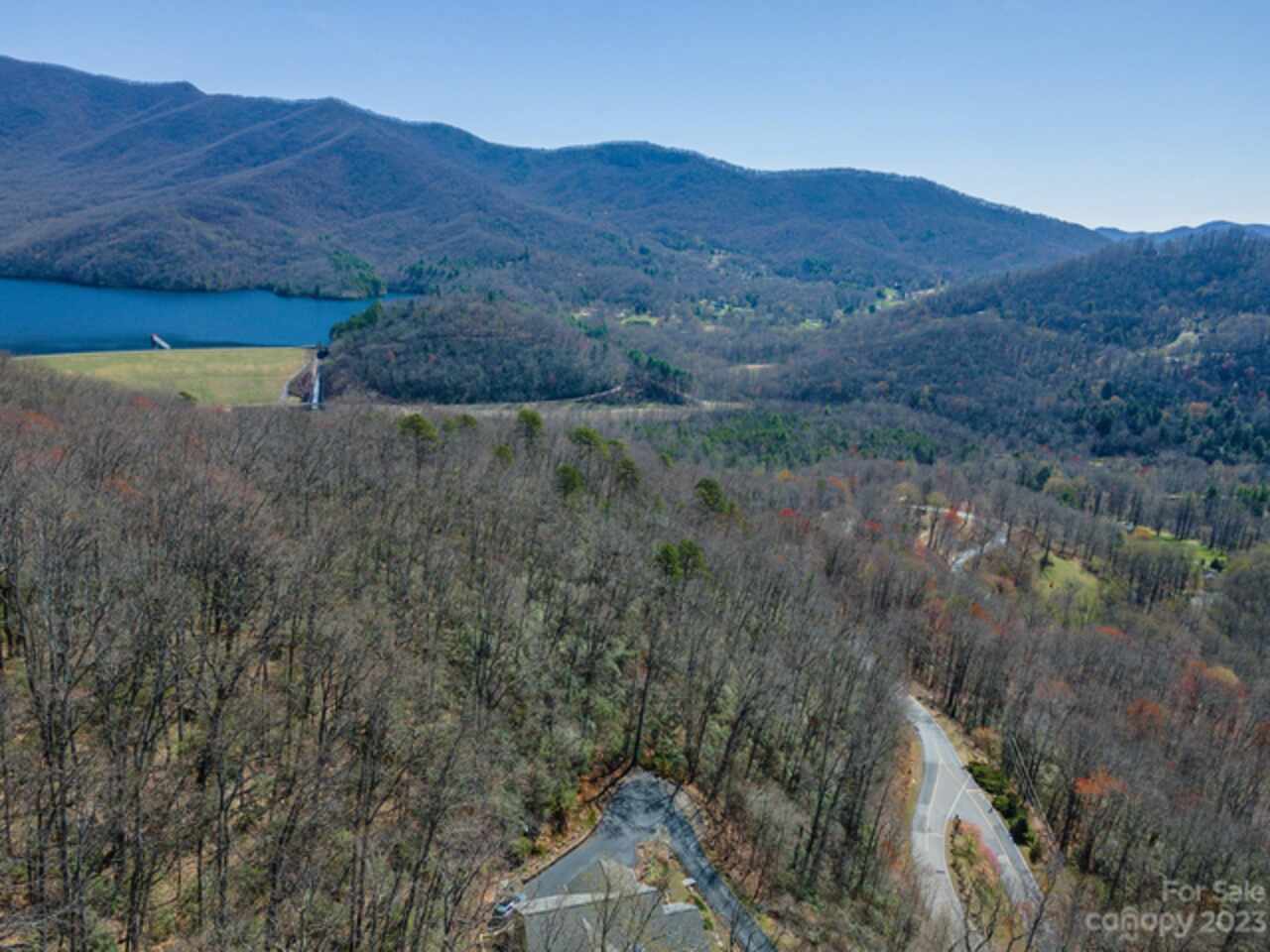
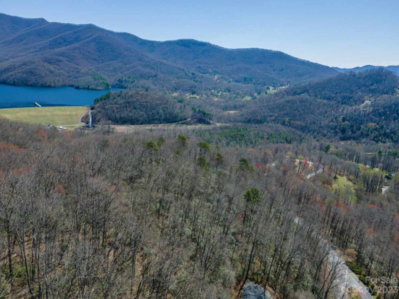
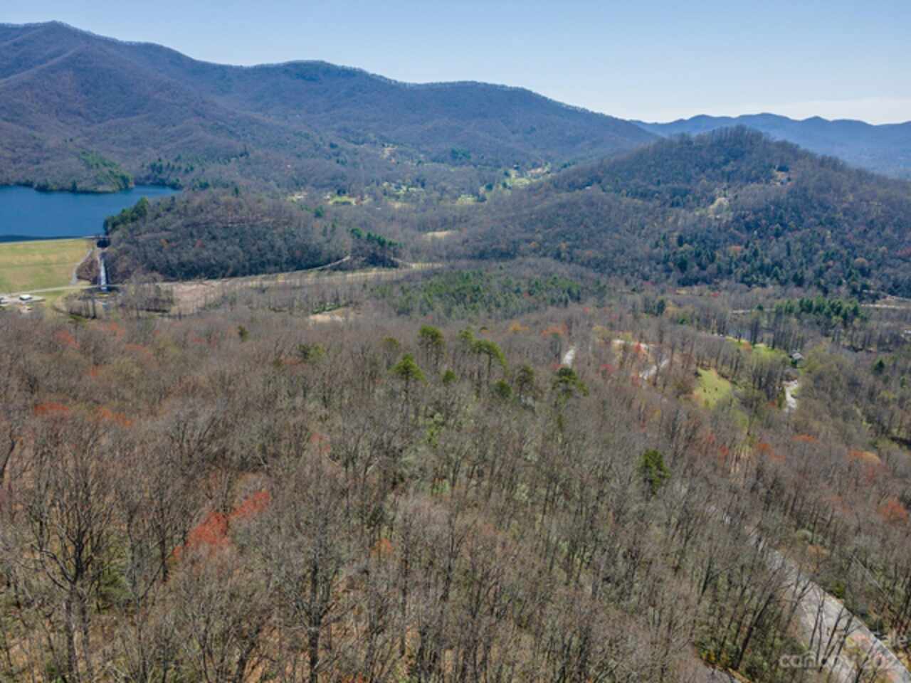
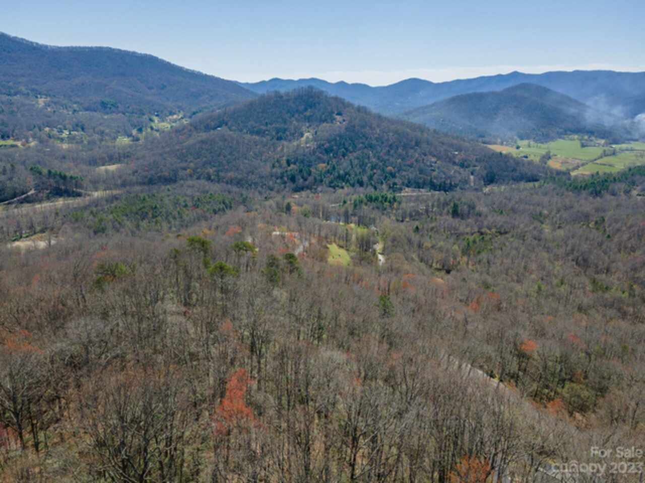
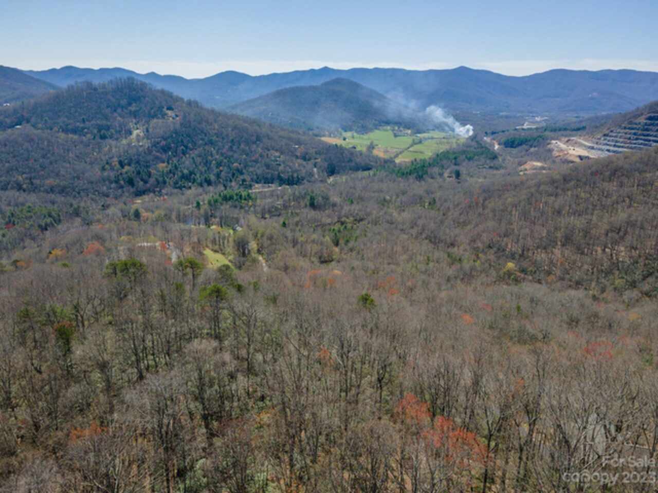
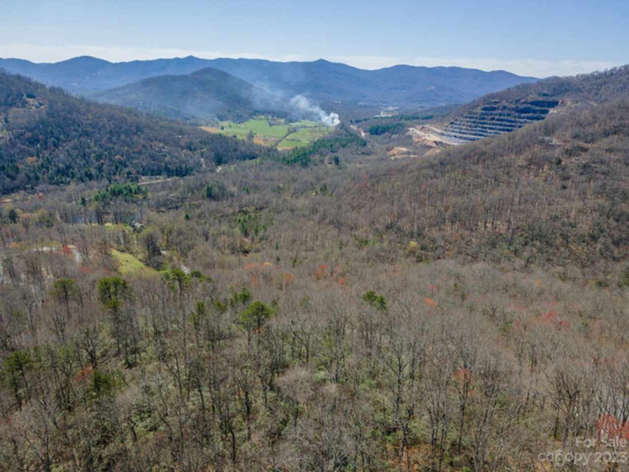
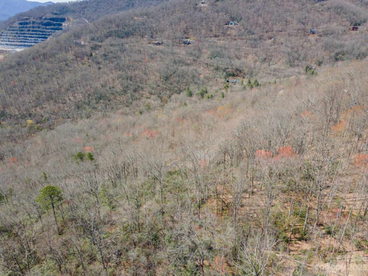
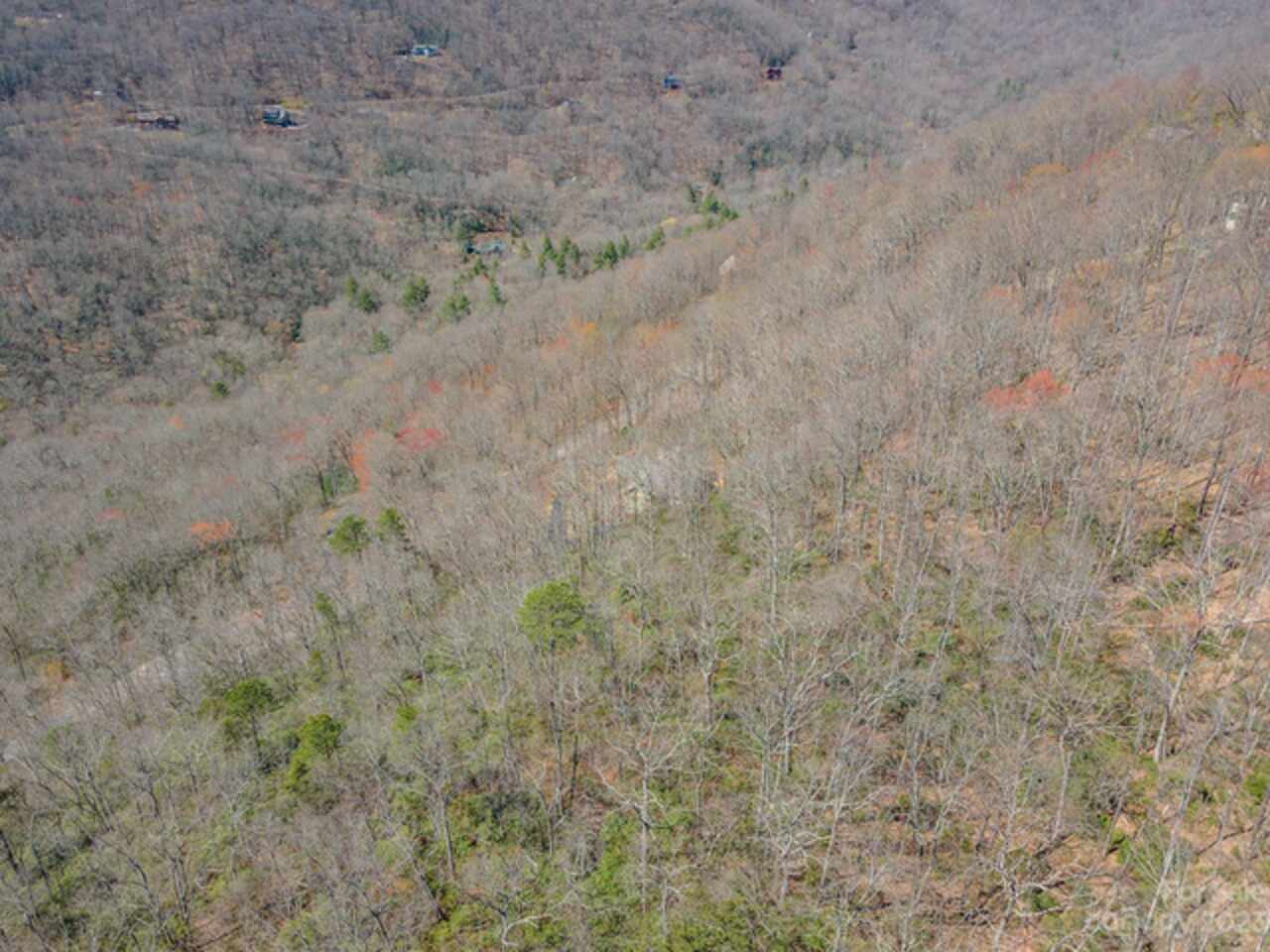
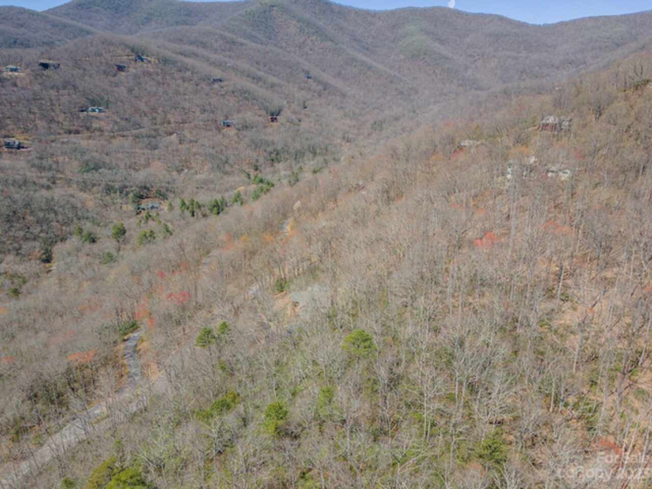
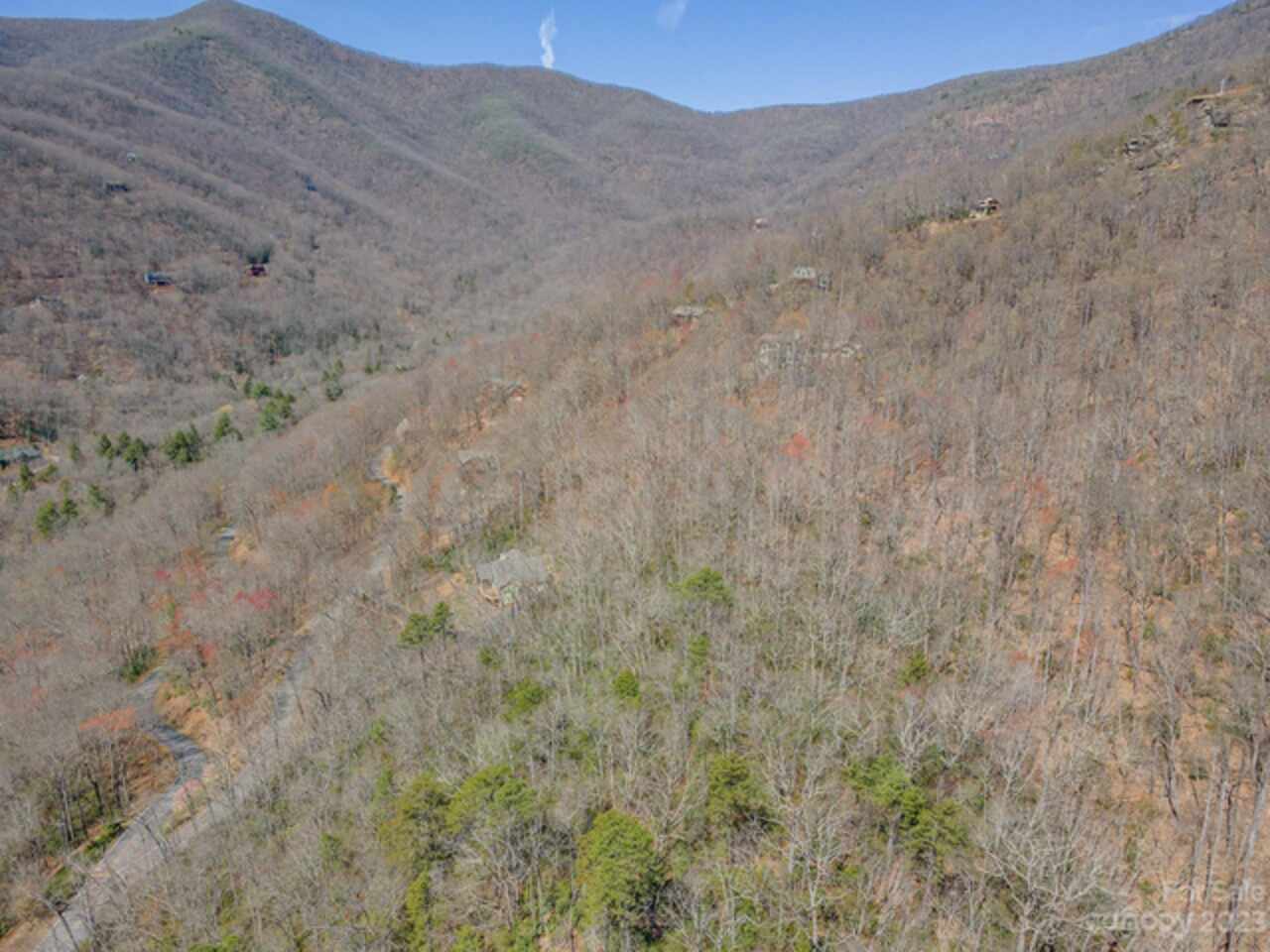
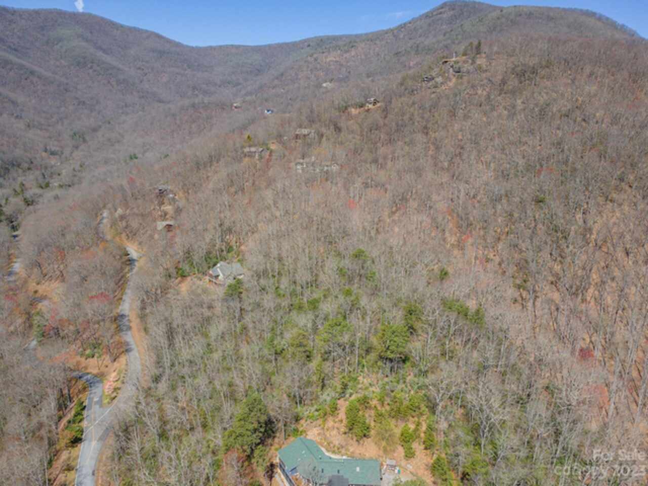
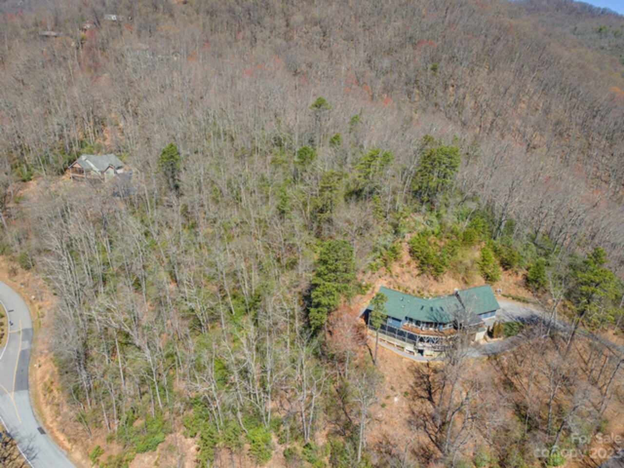
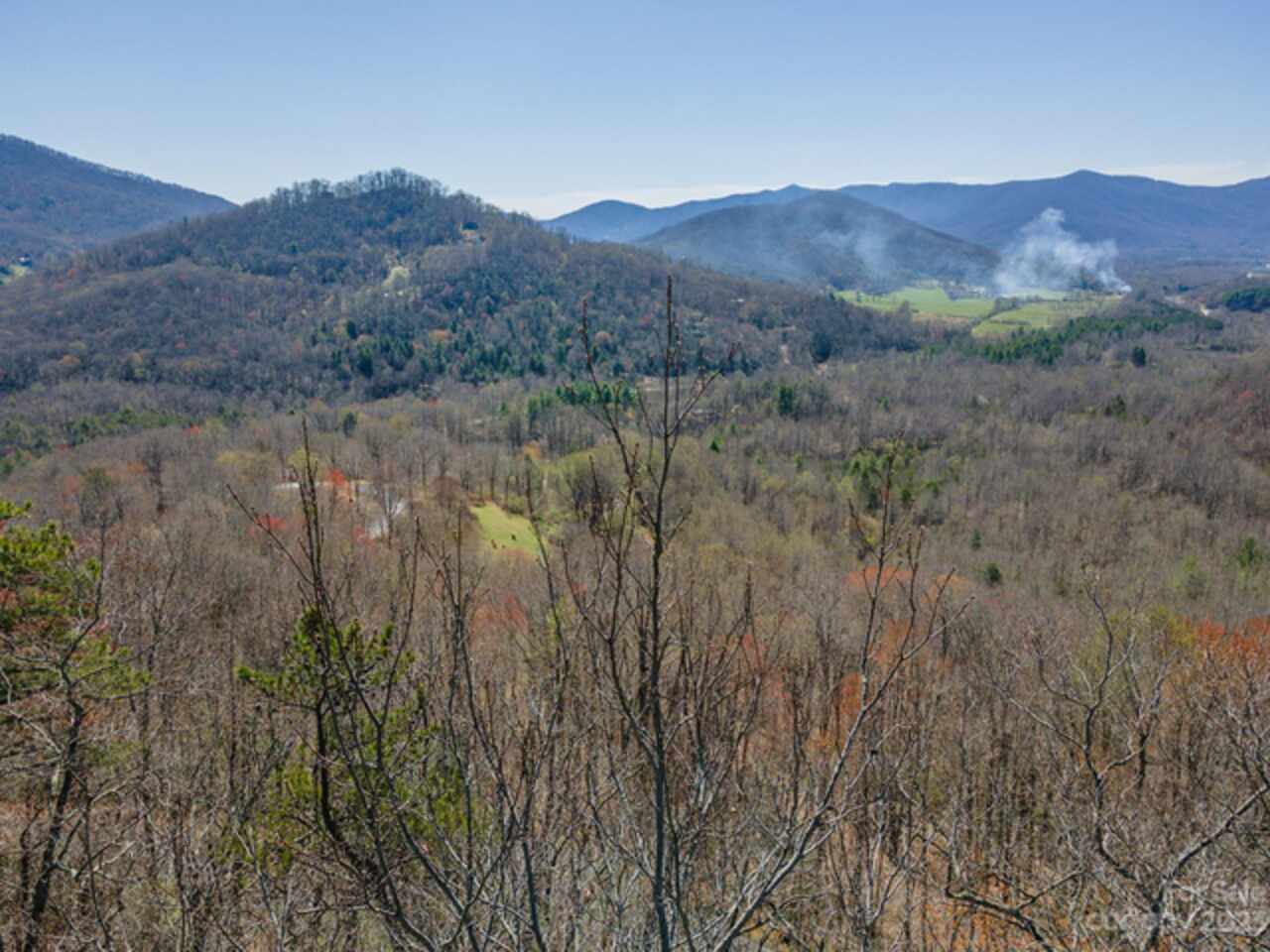
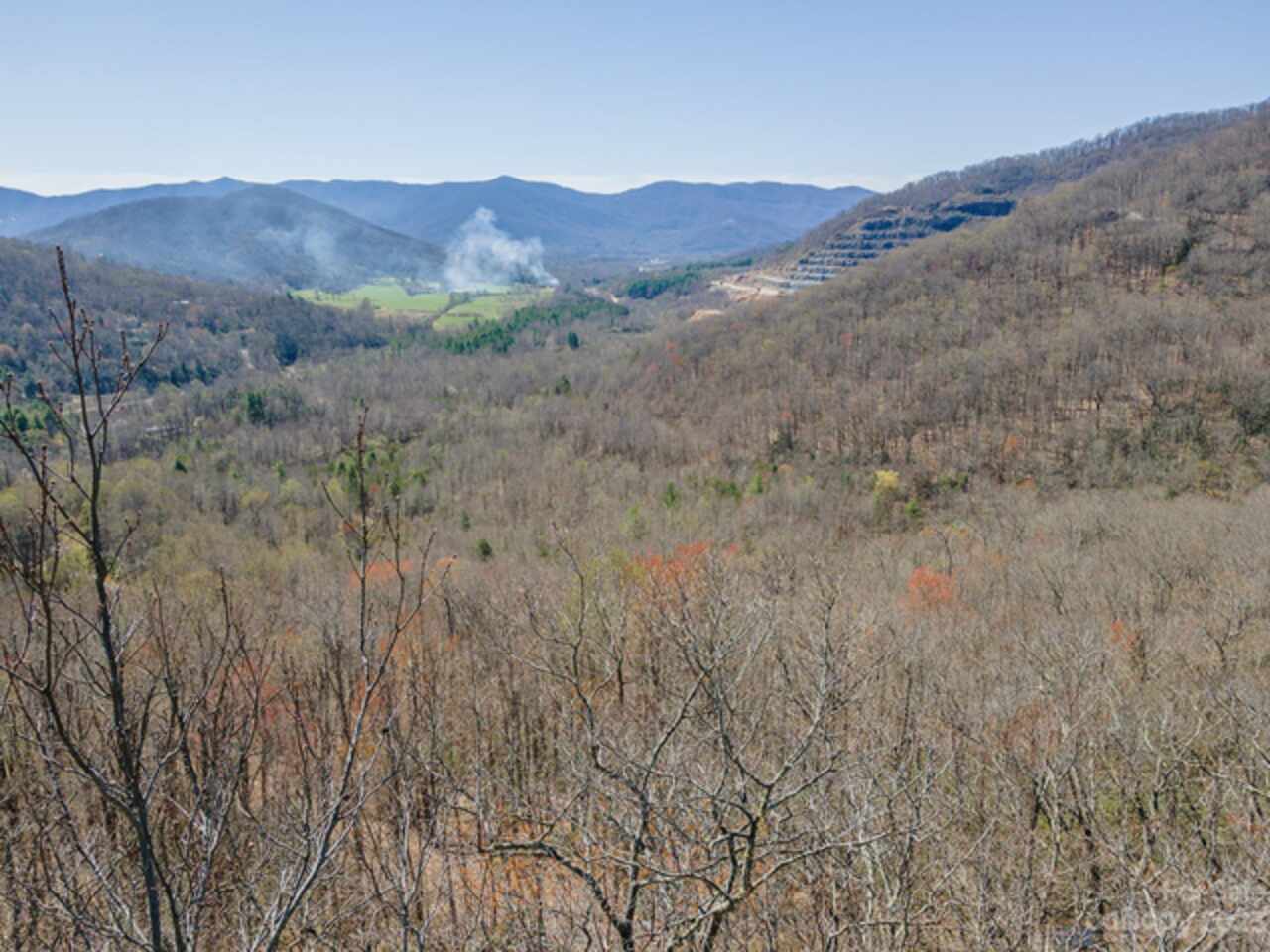
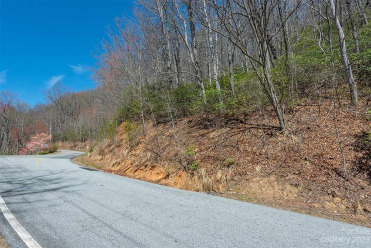
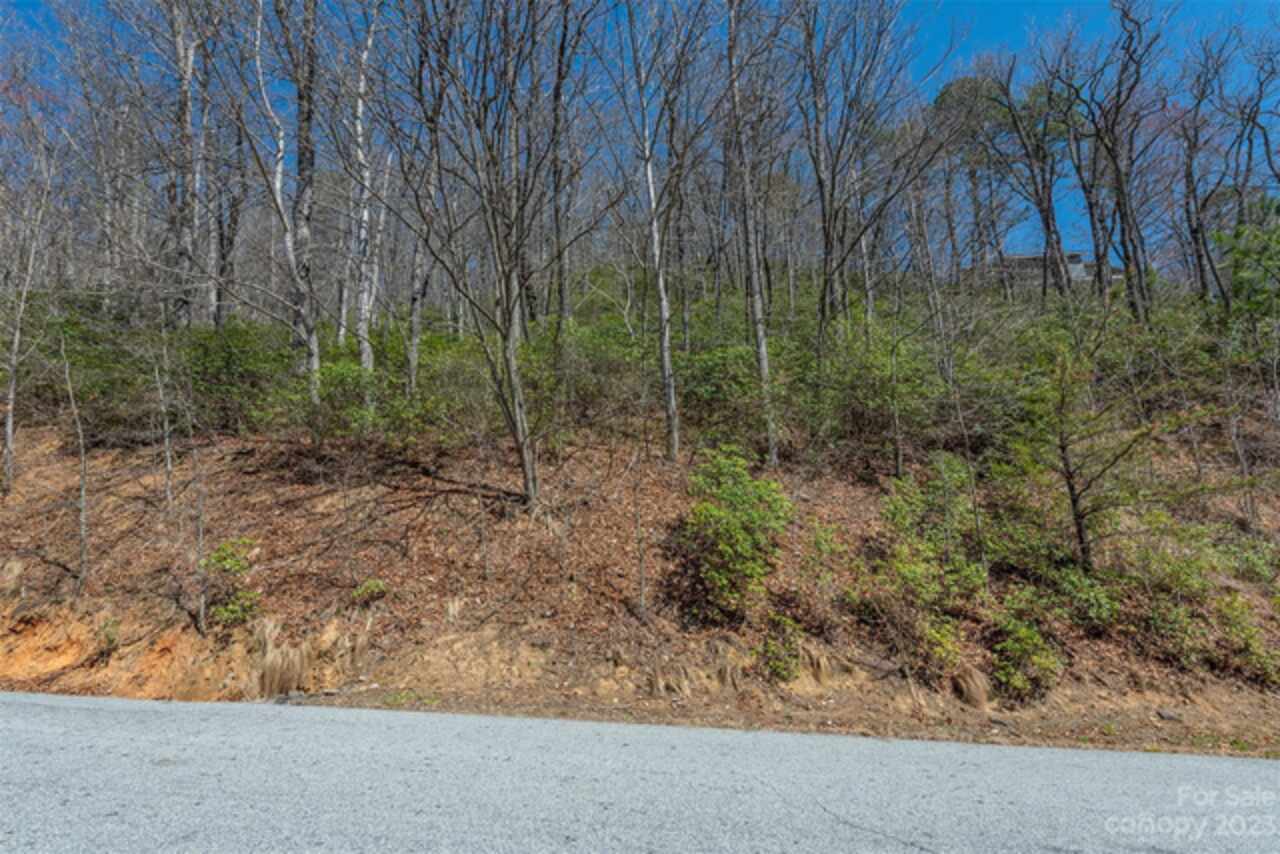
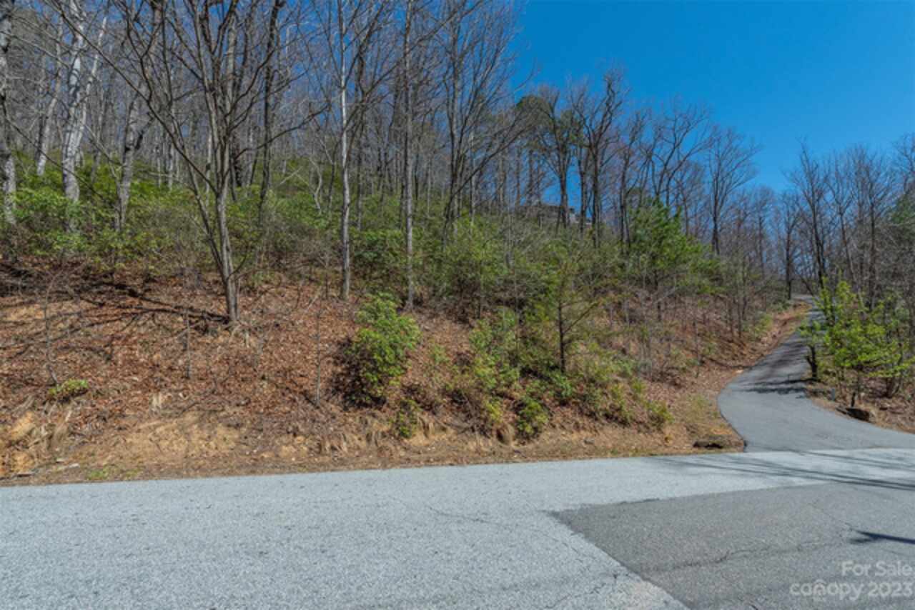
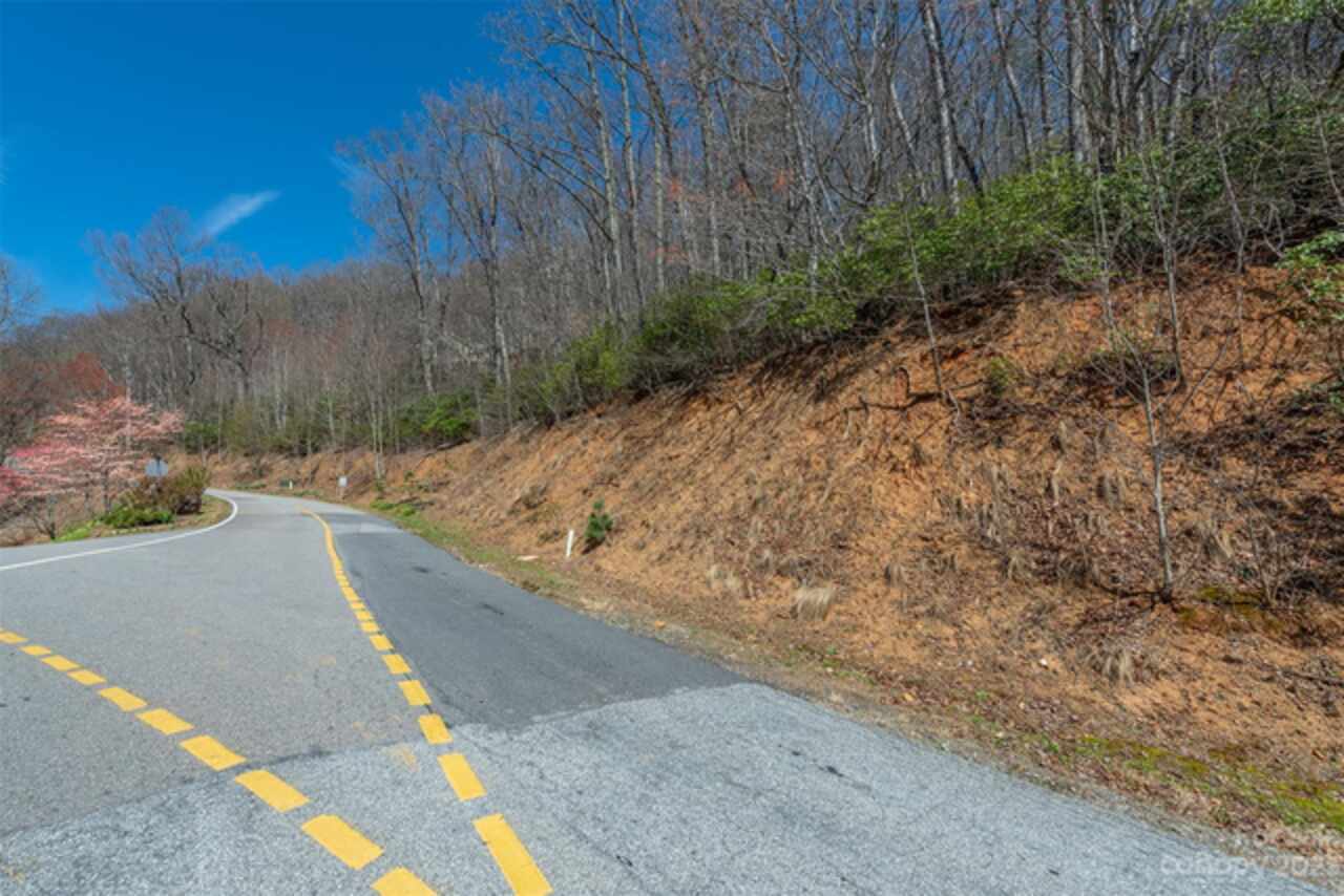
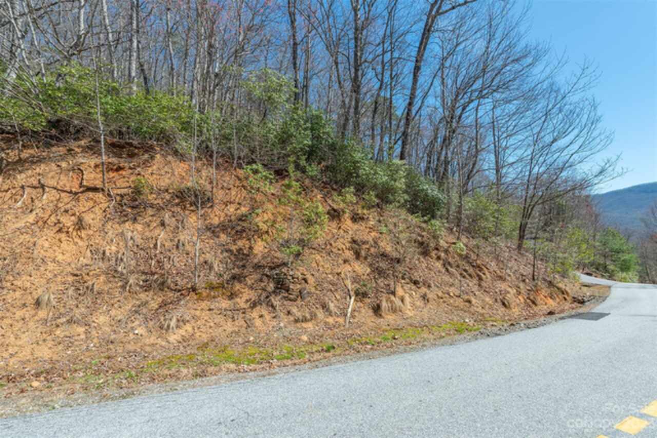
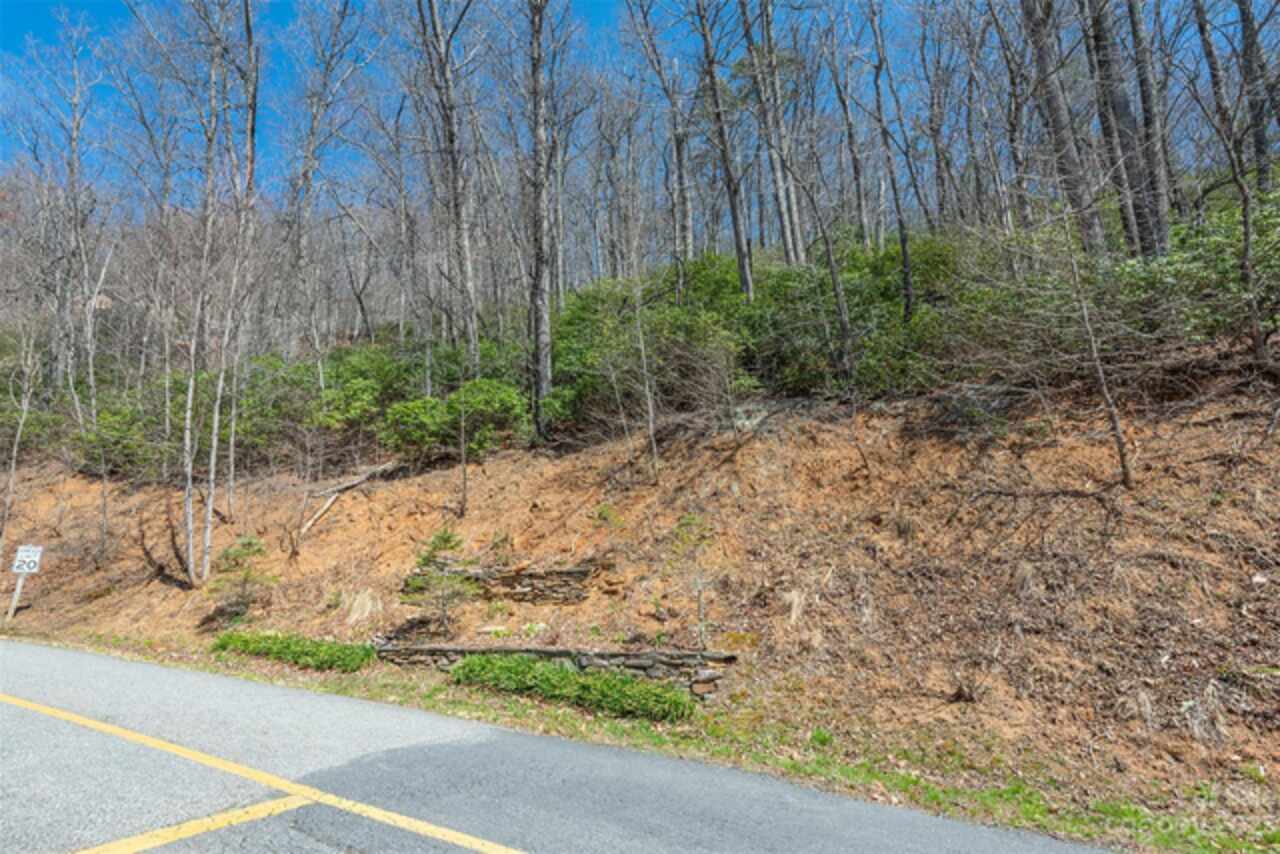
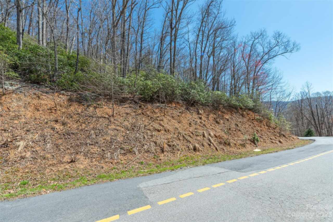
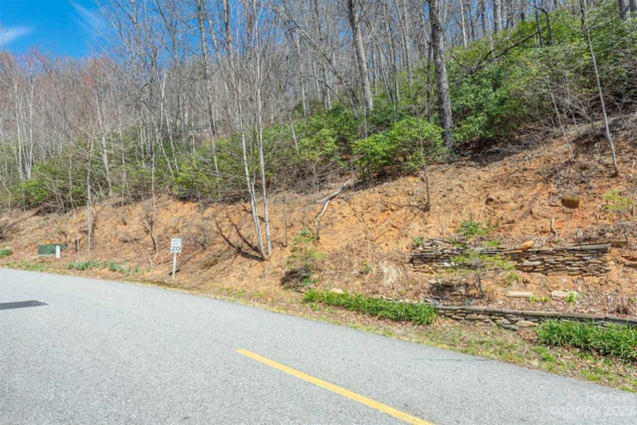
Paved, Private, Steep Slope, Creek/Stream, Views, Wooded
Middle Or Junior School
Charles D Owen
Mls Major Change Type
Price Increase
Parcel Number
0701-32-6370-00000
Plat Reference Section Pages
62-20
Possible Use
Private Estate, Recreational, Residential, Timber
Restrictions
Architectural Review, Building, Height, Livestock Restriction, Manufactured Home Not Allowed, Modular Allowed, Short Term Rental Allowed, Signage, Square Feet, Subdivision
Restrictions Description
C&Rs, Design Stds/Guidelines, B Co Zoning
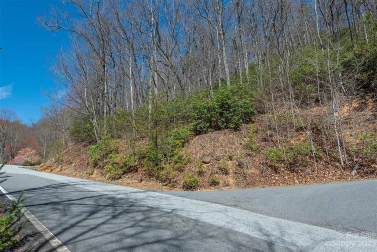
Road Frontage Type
Private Road
Road Responsibility
Private Maintained Road
SqFt Building Minimum
1200
Subdivision Name
Laurel Ridge
Syndicate Participation
Participant Options
Syndicate To
CarolinaHome.com, IDX, IDX_Address, Realtor.com
Utilities
Electricity Connected, Fiber Optics, Propane, Solar, Underground Power Lines, Underground Utilities, Wired Internet Available
Water Source
City, Other - See Remarks